go back
Hiking
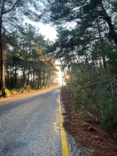
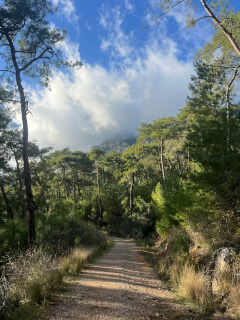
Almost any road around Akyaka can turn into a pleasant walking route: beautiful nature and views are everywhere here. But for those who especially love hiking, it is worth paying attention to the section of the Carian Trail — one of the longest walking routes in the world, named after the ancient civilization of Caria. Part of this route passes through the Gökova valley. You can choose the start and end of the trail yourself, depending on how far you want to walk.
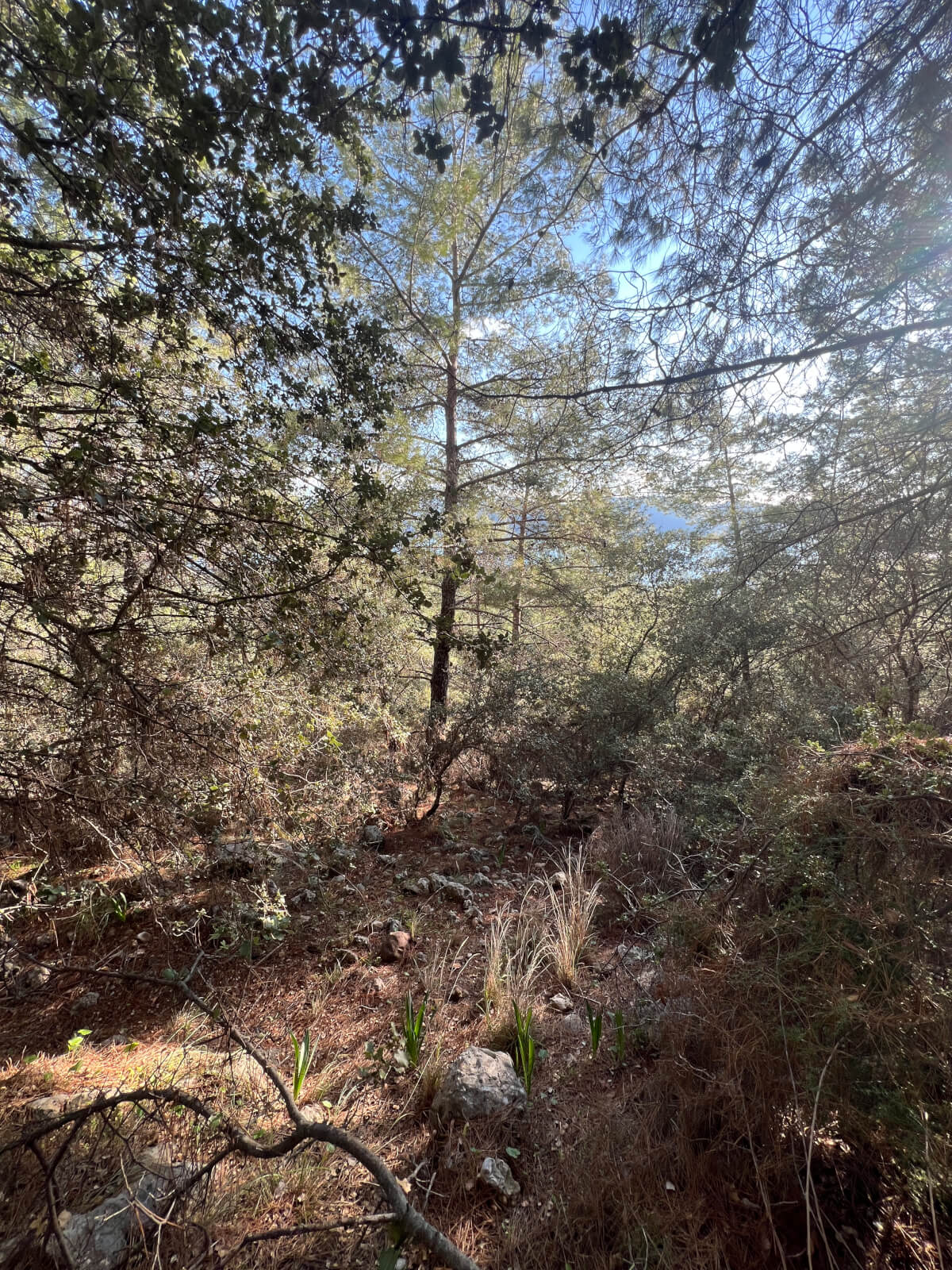
In the Gökova area, about 200 species of birds, 25 species of mammals, and 30 species of reptiles inhabit. On the routes, you may encounter animals such as cormorants, otters, snake eagles, salamanders, as well as see rare plants, including Liquidambar (Liquidambar orientalis). Below are the trails that allow you to explore Gökova on foot: all of them are designed so that you leave Akyaka and return back. It is easy to navigate by the red and white markers on the trees.
* Please note:
- Please treat nature and the environment with care. The region has a high risk of forest fires, so be especially careful with cigarette butts and litter.
- If you decide to slightly change the route, you can head towards the fields: remember that the crops are the hard work of local farmers, and walking on them is not allowed.
- Many old cisterns along the roads are still used for drinking water, so do not bathe or wash dishes in them.
- Along the way, you will see ancient ruins and archaeological sites — do not take stones, shards, and other items: nature and history belong to everyone.
Nature and birdwatching enthusiasts should bring binoculars and a camera. This region is particularly interesting for birdwatching: you can check the migration dates in advance, but generally, the best time for observations is mid-summer and mid-winter, considering spring and autumn migrations. In summer, in addition to the resident species, migratory birds appear that use Gökova as a resting place, and during the rainy season, you can see various predators and rare "guests". In the surroundings, you can find protected species such as the bee-eater, barn owl, blue thrush, buzzard, and others.
Route: Akyaka — Akçapınar — Gökova — Akyaka
From Akyaka, you walk along the Azmak River, passing by restaurants along its shore towards Gökova. After passing the restaurants, you will reach the archaeological excavations of the fortress and find yourself in the Inişdib area. To the left on the hill, the ruins of the
medieval castle of Idyma and the excavation site are clearly visible. From here, you can easily see the tunnels that stretch from the fortress to the Azmak River.
Just past the excavations on the left, you will see a dome-shaped stone cistern from the Ottoman period. It has an inscription in Ottoman script with the date 1250 — it is believed that the slab with the inscription was once a tombstone of one of the important figures of its time. Directly opposite the cistern, under the stone door of the garden, there is a large stone with a Greek inscription. The well inside was drilled by Italians during World War II, but the irrigation canal has collapsed over time.
After the cistern, opposite the cemetery, turn right at the transformer booth and continue walking. This road leads to the
kite beach. Along the way, you will see a sign for "Kanuni Yolu" (Suleiman's Road). After passing the stream that remains on the left, and not turning towards the plain, walk about 1 km until you reach the old stone pavement. It is believed that this is the road that the Ottoman Sultan Suleiman the Magnificent took during his campaign to Rhodes.
Further, the road splits. The left goes to a small object on the asphalt road to
Marmaris, but you need to keep to the right if you want to continue the route towards
Akçapınar. After about 300 m, you will come to a fork of three roads — choose the left one. It will first lead you to the asphalt road
Muğla–
Marmaris, then you will cross it and along the shore of
Azmak reach
Akçapınar.
From April to August, you can often see storks in this area. In Akçapınar, you can take a break at cafes and restaurants in the village square.
From the village square, go along the
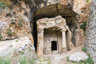
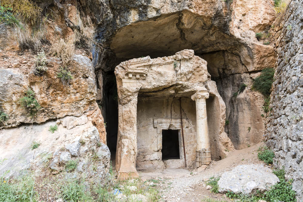
eucalyptus road, which starts on the left. At the end of this alley, you will reach the Muğla–Antalya road, cross it, and continue along the next section of the eucalyptus road — the "Lovers' Road". At its end, on the hill opposite, you will see the rock tombs of the Carian period — the acropolis of Idyma. Turning left at the end of the forest road and continuing on, you will come to the road towards Akyaka. After passing through the tunnel, on the right, you will see two rock tombs of the Carian civilization. About a kilometer later, you will find yourself back at the cistern.
Further, navigating by the Azmak River and restaurants and turning left each time, you will see a very old forked pine by the road. Almost in line with this tree, in the thicket at the edge of the forest on the right, are the ruins of a small chapel. Important finds have been made here as a result of excavations. While inspecting the remains of the chapel, destroyed by earthquakes and time, you complete the loop and return to Akyaka.
Route: Akyaka — Kuyuacak road — Akyaka
From Atatürk Square under the market, head west towards the
forest camping. On the right, you will see a sports ground — go around it on the left and start climbing up. After a short walk, you will reach the upper part of an old house at the end of Zeytin Street; continue up the path.
Further, the road leads to an area that locals call "Tınkılı". It is rocky here, so walking may be a bit more challenging. After about 5 minutes, the path splits in two — keep to the right side. When you pass the last houses, the road narrows and sharply turns to the right. Then a long ascent begins along a winding path with beautiful views of the sea and the bay. After about two hours, you will reach a dirt road that leads to the village of Kuyuacak.
The village is about 3 km away, but our route turns back towards Akyaka here. If you want a slightly more challenging descent option, about a kilometer later you can turn right onto the Papazlık Dere road, which goes through fields and opens views of the valley and several historical ruins. In the basic description, we stay on the main road and continue left, down.
This part of the path goes along the ridge with a view of the sea and provides an opportunity to see a wide panorama all the way to the
Datça peninsula. After about 3 km, you will start approaching the first houses — this area is called Obrukalan (Obrukalan Mevkii). Here you can get water from the fountains that are found on the right side of the road every few hundred meters.
Continuing along the asphalt, you will reach
Maden Iskele — one of the swimming spots around Akyaka. Upon seeing the Iskele mosque, turn left and walk another 2 km along the road by the sea to return to the starting point in Akyaka.
Route: Akyaka — Acropolis of Idyma — Gökova
This route can be started on foot from Akyaka or you can drive to the start from the direction of Gökova (about 5 km between them).
If you are walking from Akyaka, move along the Azmak River towards Gökova, downstream, through the Inişdib area. After passing the rock tombs by the road, you will come to the beginning of the main section.
Next, walk along the asphalt road, keeping to the left side, where olive groves stretch. When you reach the right turn, you will see the entrance to Gökova. Here, turn right onto the winding road, and after about 30 meters, at the fork of three roads, turn right again. After walking about 200 meters along the narrow street with houses on both sides, you will see that the road goes down to the right towards one of the houses. If you look up, the rock tombs will already be visible on the slope — further, the path goes along trails that lead you up to them.
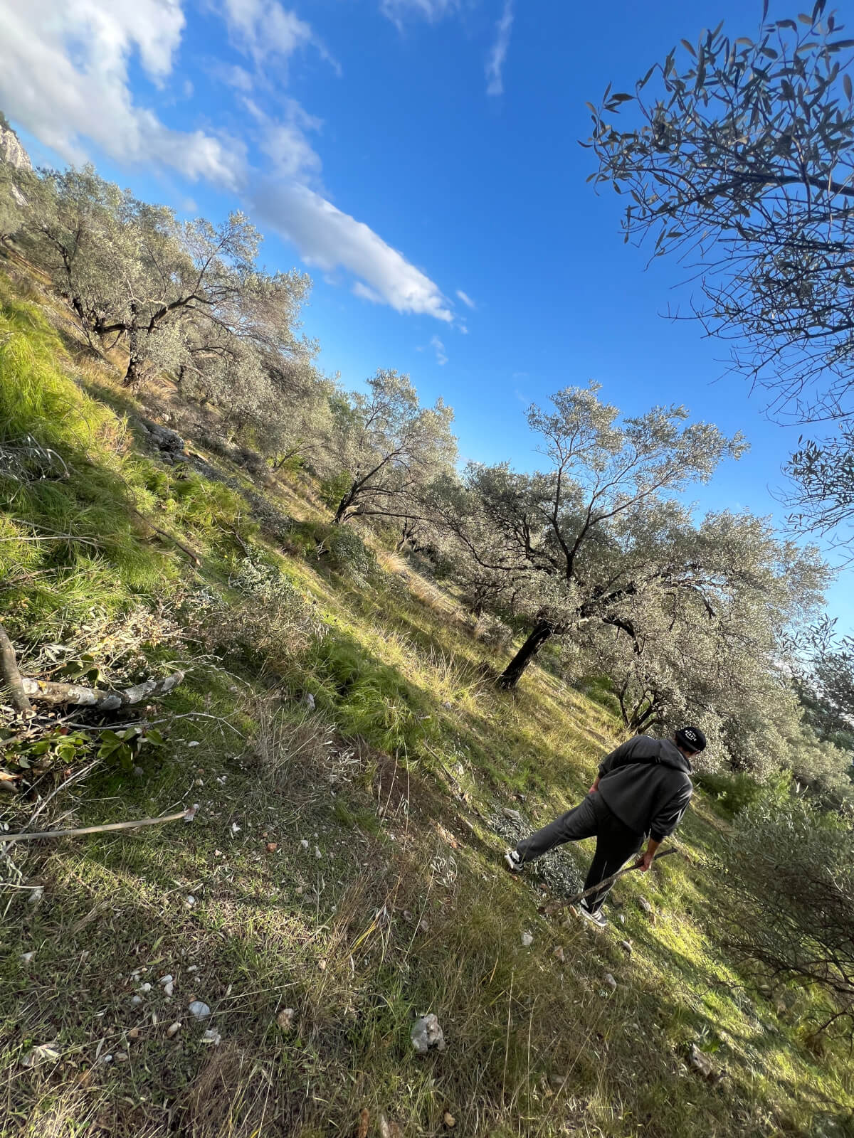
On the eastern (left) side of the tombs, walk on the path leading up the slope. Through the olive groves, climb to the ridge and walk along it for about 15 minutes — you will reach a flat dirt road. On the other side of the road, a ruined stone structure and steep slopes are visible. Continue left, re-enter the olive grove and climb higher. Here you can take a break: beautiful views open up, and nearby you can see the cistern and Hellenistic walls made of large hewn blocks — part of the acropolis of ancient Idyma.
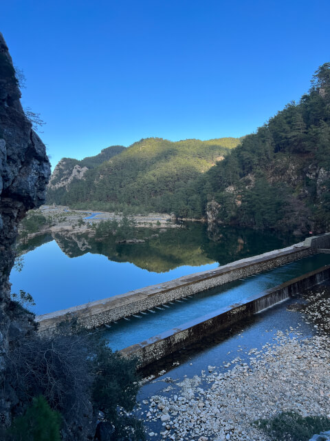
After descending from the hill, continue down the dirt road — it will lead you to the stream bed. At the place where the path reaches the stream bed, a small reservoir is visible on the right. After crossing the stream bed, you will soon reach the asphalt road and return to Gökova along it. From here, you can walk or drive back to Akyaka along the same road, completing the loop.
Route: Akyaka — Sakar Pass — Fire Tower — Akyaka
To walk this route, which offers the
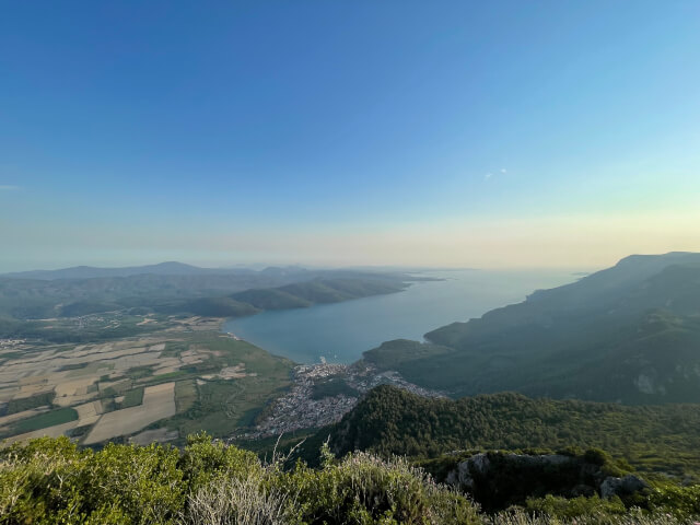
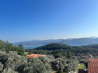
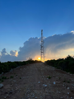
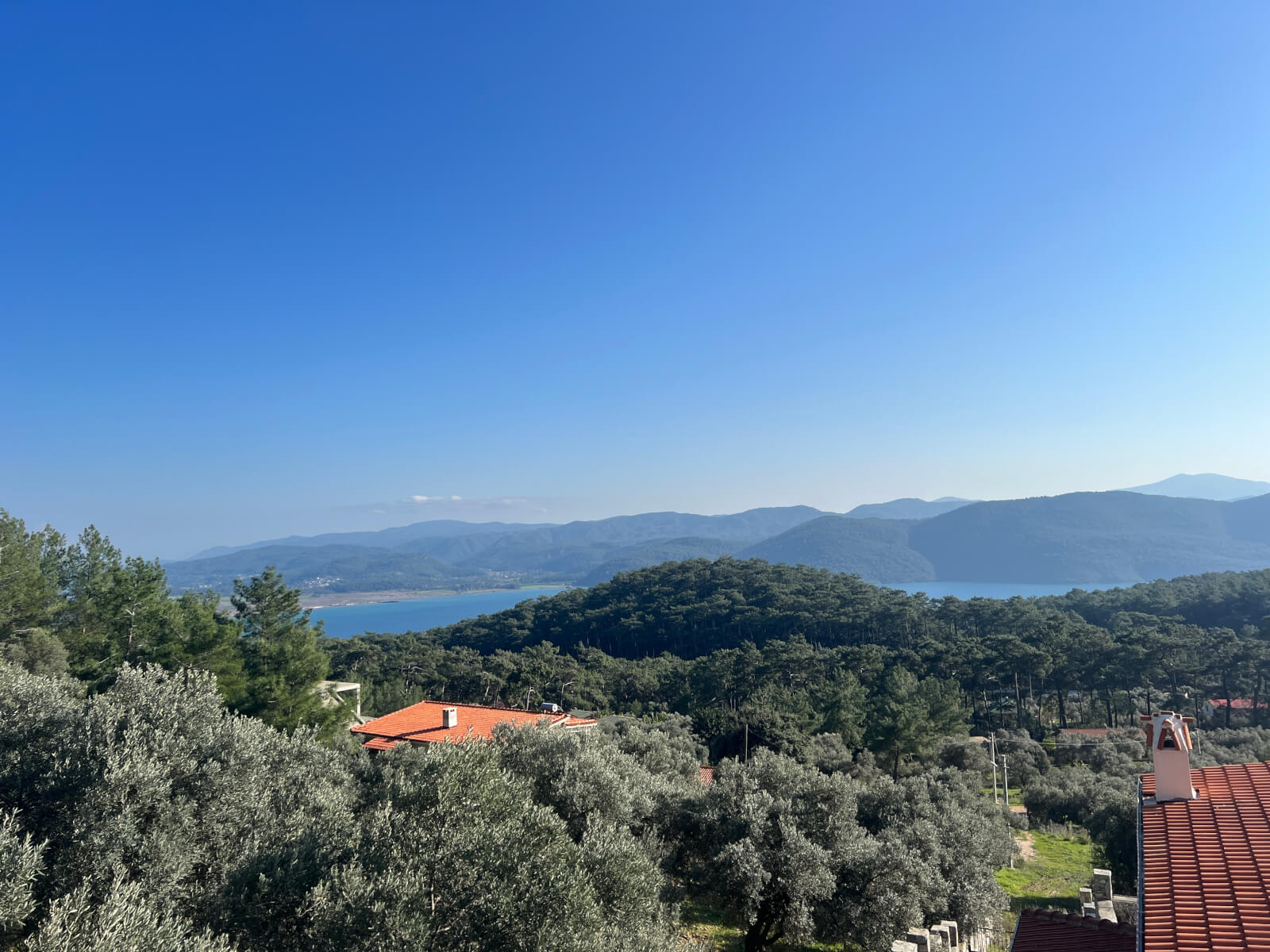
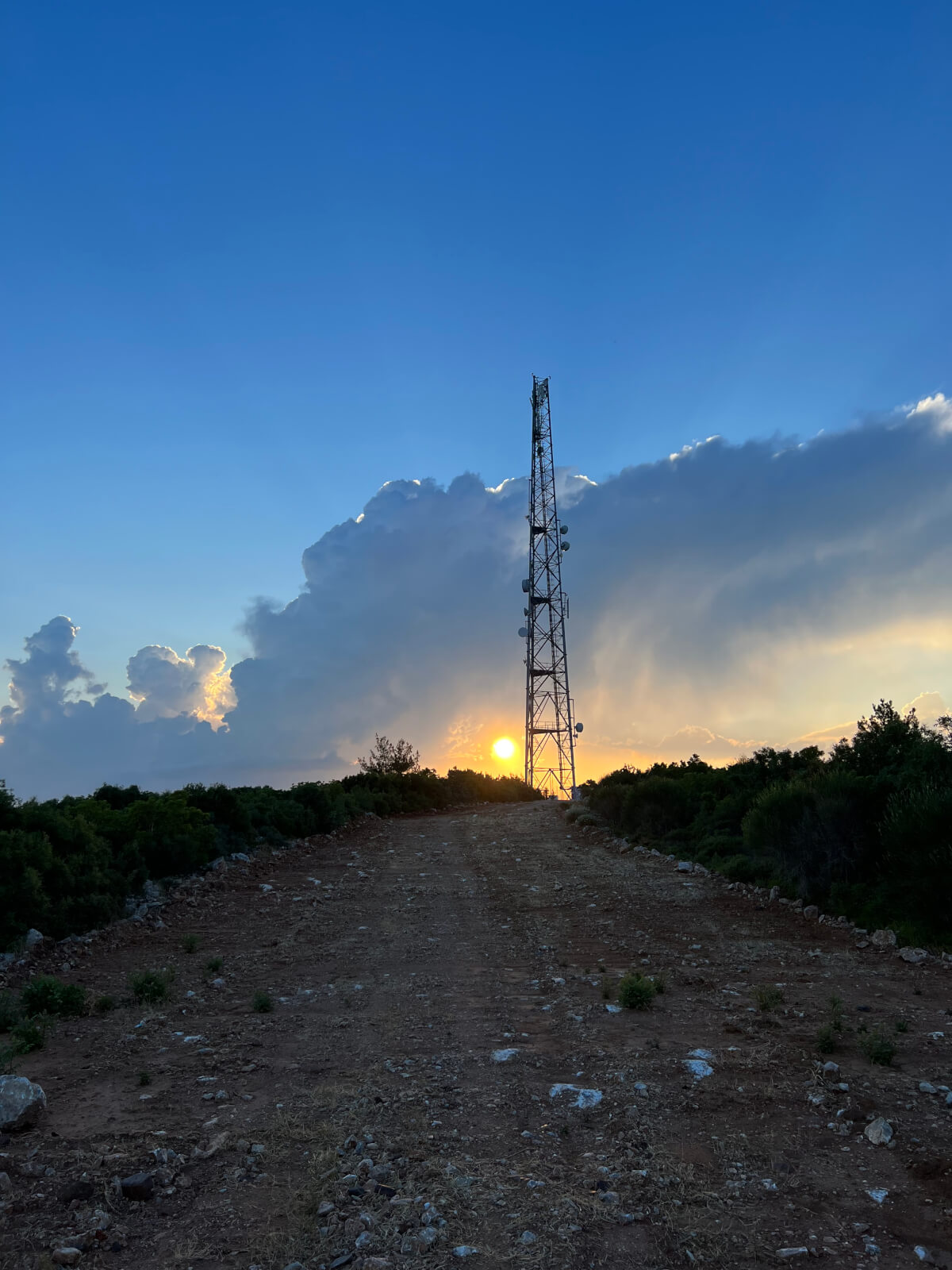
best view of the Gökova bay, and on a clear day, you can even see the island of Kos, you first need to take a bus. Tell the driver that you want to get off at the "Sakar Geçidi" stop. After getting off the bus, you will see a wide dirt road going left up. Follow it to the top, where there are a viewpoint, a cafe, and a fire observation station, where staff are on duty in the summer. Here you can take a moment to enjoy the stunning view.
To the west of the fire station is a plain used by paragliders, but paragliding is not practiced here now. The village of Kuyuacak is 5 km from this place, which is included in one of our routes. Additionally, you can descend to Akyaka from this slope. However, since this is a challenging route, it is recommended to go with someone who is well acquainted with the geography or has hiking experience. You can reach Akyaka by returning along this road or catching a bus at the same place where you got off at the beginning of the route.
Route: Akyaka — Gökçe — Akçapınar — Akyaka
Due to its length and terrain, this route is especially convenient to explore by bike. In Akyaka, there are several rental points where you can get a mountain or trekking bike. In summer, be sure to bring enough water: there is not always shade along the route.
Start — from Akyaka towards the village of Gökçe (Gökçe). Walk or ride through Inişdib: past the familiar Ottoman cistern from our other routes and further along the road to the
kite beach. At the Marmaris/Kitebeach junction, continue towards
Marmaris — this will lead you to the village of Gökçe.
From here, after walking a short section, you will reach a fork in the roads leading to a valley with a small waterfall. At this fork, you need to turn right, but the road is quite steep. At the end of the road, enter the valley and walk a little up; after 5 minutes, you will reach the waterfall itself. From here, you can descend into the valley, either by the path on the opposite side or by the same road you came from.




 FAQ
FAQ